Retour à SVT
Les volcans

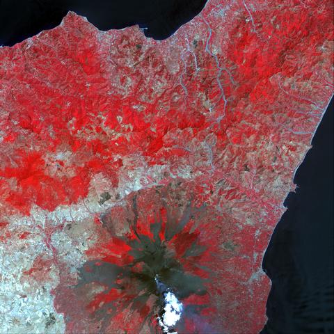
Photo USGS EROS Data Center. Satellite Landsat 7, 29/07/2001 - Voir géolocalisation
Vue des coulées de lave, en noir sur cette image infrarouge.
 Ce document iconographique relève du Public Domain (domaine public) selon les lois des États-Unis et peut donc être employé sans restrictions. Vous devez néanmoins mentionner son auteur.
